

RUCKSACK READERS
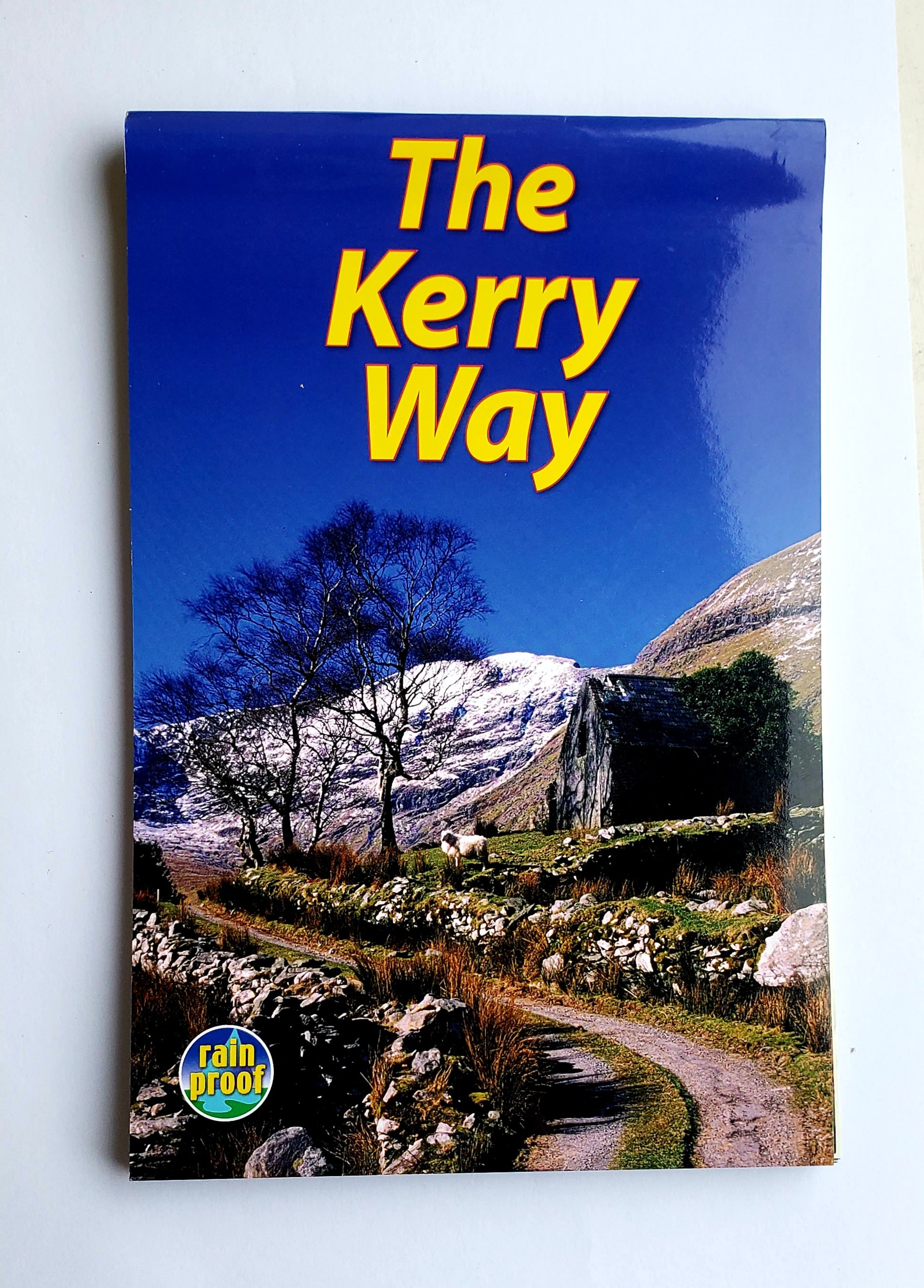
The Kerry Way Rain Proof Book & Map
Trail
Hiking
Quantity:
Pickup available at Landers Tralee
Usually ready in 1 hour
The Kerry Way Rain Proof Book & Map
Landers Tralee
Pickup available, usually ready in 1 hour
Landers Outdoor World
Mile Height
Tralee
Kerry
V92 PP9C
Ireland
The Kerry Way runs for about 210 km/130 miles through Ireland's spectacular mountain landscapes, starting and finishing in the town of Killarney. It passes by dramatic peak and glens, winds through wild moorlands and climbs over windswept passes, with wide coastal panoramas. The complete walk takes nine days, but is easily shortened.
Features:
- Updated directions for each section, with options explained
- Drop-down map showing the whole route in five panels
- Concise background on geology, scenery and wildlife
- Feature on Carrauntoohill, Ireland's highest peak
- Planning information for travel by car, train, bus or plane
- In full colour, with over 70 photographs
- On waterproof paper throughout
The Kerry Way Rain Proof Book & Map KERRYWAY
Choose options
Quantity:
Quantity: