


ORDNANCE SURVEY IRL
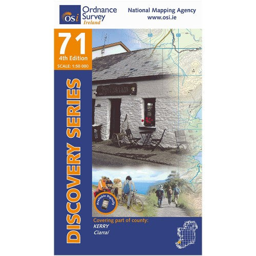
OSI Discovery Laminated Waterproof Map 71 (Part of Kerry)(1:50,000)
OSI Discovery Laminated Waterproof Map 71 (Part of Kerry)(1:50,000)
Landers Tralee
Landers Outdoor World
Mile Height
Tralee
Kerry
V92 PP9C
Ireland
Map Includes:
- Caher Marsh Loop
- Dingle Way | Slí Chorca Dhuibhne (Tralee to Annascaul / Fermoyle Strand to Tralee)
- Glanageenty Loops
- Glanteenassig Trail
- Keel Uphill Downhill Loop
- Lyracrumpane Loop
- North Kerry Way | Slí Chiarraí Thuaidh (Tralee to Glenderry)
- Slieve Mish Mountains | Sliabh Mis
- Stack's Mountains | Cnoc an Stacaigh
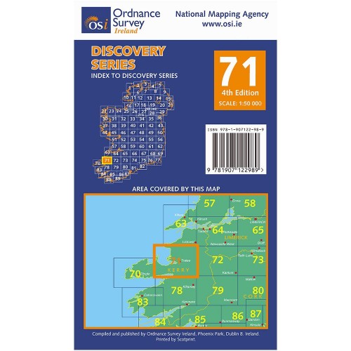
Discovery maps are produced at a scale of 1:50,000 (or 2cm on paper equals 1 kilometer on the ground). Each Discovery Sheet covers an area of 40km x 30km surface area (with the exception of several portrait-format sheets, which are 42km x 32km). There are 93 sheets in the series; 75 are produced by Ordnance Survey Ireland, and 18 by Ordnance Survey Northern Ireland. The maps produced by Ordnance Survey Northern Ireland are called the Discoverer Series.
This is a comprehensive series of feature-rich maps which show detailed landscape information, like rivers, lakes, contours and many townland names. The Discovery Series is designed primarily for tourist and leisure activities; these maps are the preferred choice for hill walkers and those in pursuit of the great outdoors. It is also an ideal reference for location-focused business use, in pocket-friendly folded form or as a wall-mounted reference.
Check out our waterproof map cases and dry bags to keep your gear safe and dry during the lovely Irish rain!
OSI Discovery Map 71 Laminated Part of Kerry 1:50,000 OSI71LF
Choose options