


ORDNANCE SURVEY IRL
OSI Discovery Map 64 (Part of Clare, Kerry & Limerick)(1:50,000)
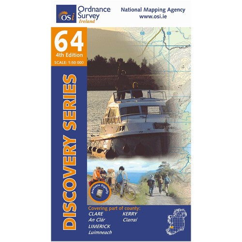
OSI Discovery Map 64 (Part of Clare, Kerry & Limerick)(1:50,000)
Landers Tralee
Landers Outdoor World
Mile Height
Tralee
Kerry
V92 PP9C
Ireland
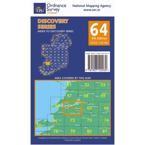
Ordnance Survey Map Sheet 64 | Part of Clare, Kerry and Limerick
Map includes:
- Ardagh | Ardach
- Aughinish Island | Eachinis
- Duagh | Dubháth
- Foynes | Faing
- Foynes Island | Oileán Faing
- Glin | An Gleann
- Great Southern Trail: Barnagh - Newcastle West - Ardagh - Rathkeale
- Killadysert | Cill an Dísirt
- Killimer | Cill Íomaí
- Kilrush Loop Walk
- Labasheeda | Leaba Shíoda
- Listowel | Lios Tuathail (part of)
- Newcastle West | An Caisleán Nua
- Rathkeale | Ráth Caola
- River Shannon Estuary
- Shanagolden | Seanghualainn
- Tarbert | Tairbeart
Discovery maps are produced at a scale of 1:50,000 (or 2cm on paper equals 1 kilometre on the ground). Each Discovery Sheet covers an area of 40km x 30km surface area (with the exception of several portrait-format sheets, which are 42km x 32km). There are 93 sheets in the series; 75 are produced by Ordnance Survey Ireland, and 18 by Ordnance Survey Northern Ireland. The maps produced by Ordnance Survey Northern Ireland are called the Discoverer Series.
This is a comprehensive series of feature-rich maps which show detailed landscape information, like rivers, lakes, contours and many townland names. The Discovery Series is designed primarily for tourist and leisure activities; these maps are the preferred choice for hill walkers and those in pursuit of the great outdoors. It is also an ideal reference for location-focused business use, in pocket-friendly folded form or as a wall-mounted reference.
OSI Discovery Map 64 Part of Clare, Kerry & Limerick 1:50,000 OSI64
Choose options