


HARVEY
Ordnance Survey of Northern Ireland Activity Map - The Mourne Mountains (1:25 000)
Ordnance Survey of Northern Ireland Activity Map - The Mourne Mountains (1:25 000)
Landers Tralee
Landers Outdoor World
Mile Height
Tralee
Kerry
V92 PP9C
Ireland
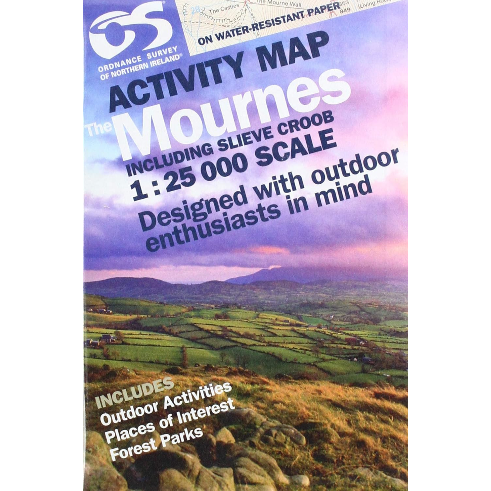
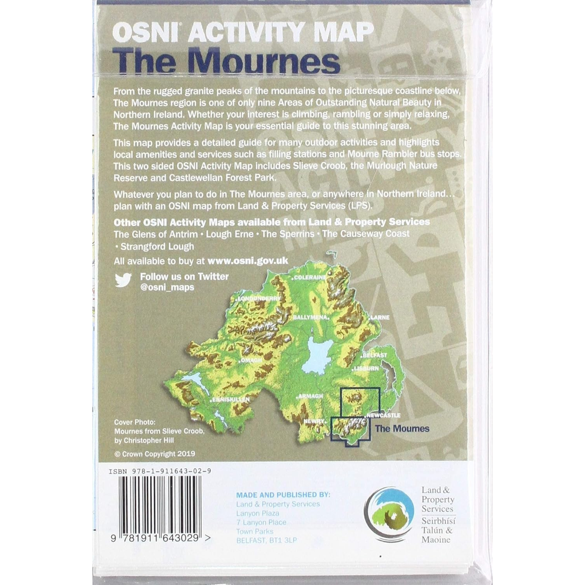
Northern Ireland Mournes Activity Map - 1:25000 Scale. This guide map has information about climbing, rambling or relaxing in the area. The Mournes Activity Map is your essential guide to this stunning area. The map includes Slieve Croob, the Murlough Nature Reserve and Castlewellan Forest Park. Whatever you plan to do in The Mournes area, or anywhere in Northern Ireland... plan with an OSNI map from land & property services (LPS). The Map is printed on water resistant paper & designed with outdoor enthusiasts in mind.
Ordnance Survey of Northern Ireland Activity Map The Mourne Mountains 1:25000 NIRLA
Choose options