


HARVEY
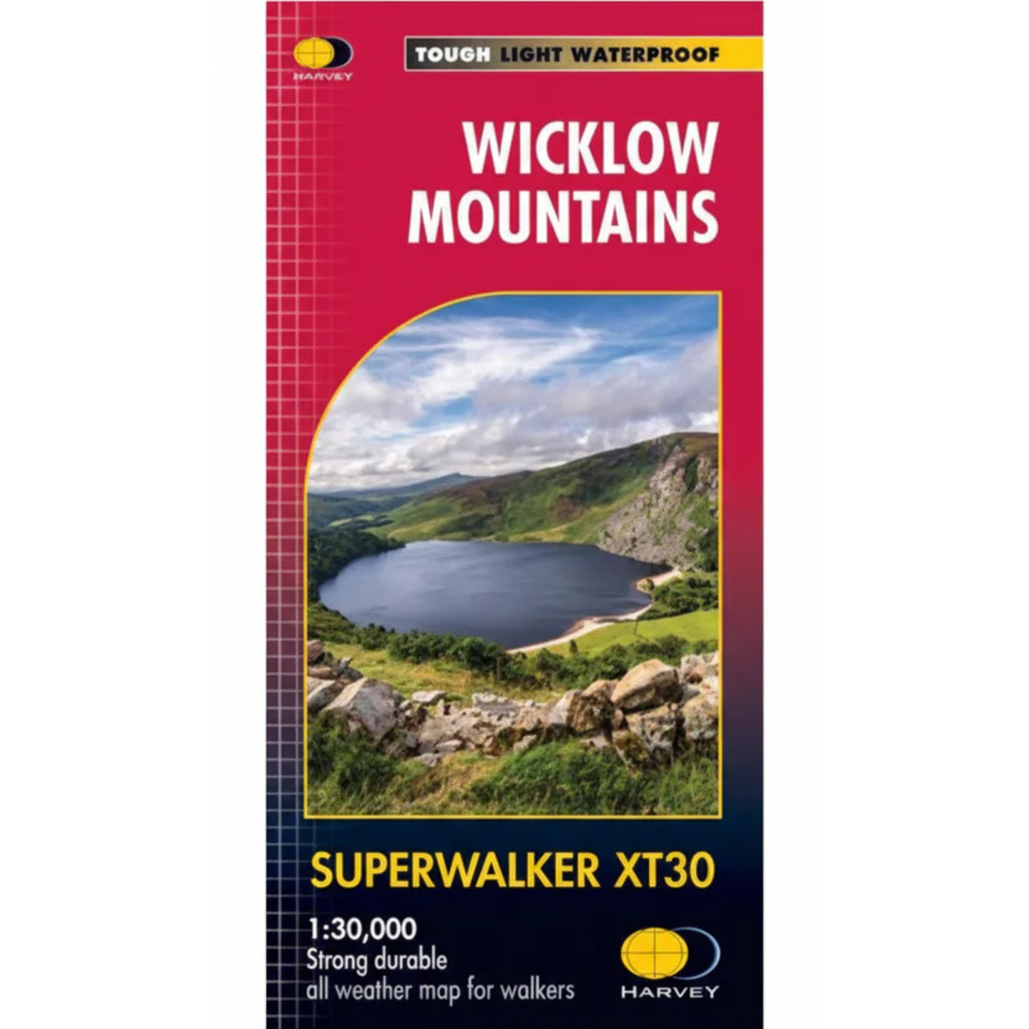
Harvey Wicklow Mountains Superwalker XT30 Waterproof Map (1:30,000)
Waterproof
Trail
Hiking
Quantity:
Pickup available at Landers Tralee
Usually ready in 1 hour
Harvey Wicklow Mountains Superwalker XT30 Waterproof Map (1:30,000)
Landers Tralee
Pickup available, usually ready in 1 hour
Landers Outdoor World
Mile Height
Tralee
Kerry
V92 PP9C
Ireland
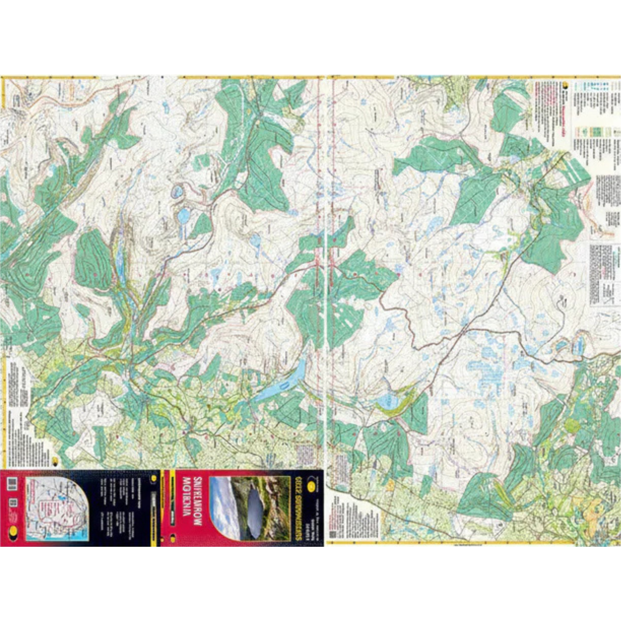
Harvey Wicklow Mountains Superwalker XT30 Map, as used by Dublin Wicklow Mountain Rescue Team, is printed on strong, durable 100% waterproof polyethylene, is less than half the weight of a laminated map and is GPS compatible.
Includes:
- Wicklow Mountains National Park
- Lugnaquilla
- Djouce Mountain
- Tonelagee (The Heart Shaped Lake)
- Pubs and cafes for the end of the day
Details:
- Scale: 1:30,000
- Ratio: 3.33cm = 1km
- Flat size: 696 x 486mm
- Folded size: 116 x 243mm
- Weight: 60gms
- Area of mapping: 488sqkm
- Double sided
Harvey Wicklow Mountains Superwalker XT30 Map 1:30,000 HWICKLOW
Choose options
Quantity:
Quantity: