


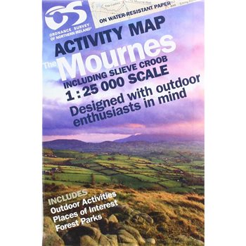
Northern Ireland Mournes Activity Map - 1:25000 Scale. This guide map has information about climbing, rambling or relaxing in the area. The Mournes Activity Map is your essential guide to this stunning area. The map includes Slieve Croob, the Murlough Nature Reserve and Castlewellan Forest Park. Whatever you plan to do in The Mournes area, or anywhere in Northern Ireland... plan with an OSNI map from land & property services (LPS). The Map is printed on water resistant paper & designed with outdoor enthusiasts in mind.
Why not check out our waterproof map cases and dry bags to keep your valuables safe on the mountains!
Ordnance Survey of Northern Ireland Activity Map The Mourne Mountains 1:25000 NIRLA