


ORDNANCE SURVEY IRL
OSI Discovery Map 79 (Part of Cork & Kerry)(1:50,000)
OSI Discovery Map 79 (Part of Cork & Kerry)(1:50,000)
Landers Tralee
Landers Outdoor World
Mile Height
Tralee
Kerry
V92 PP9C
Ireland
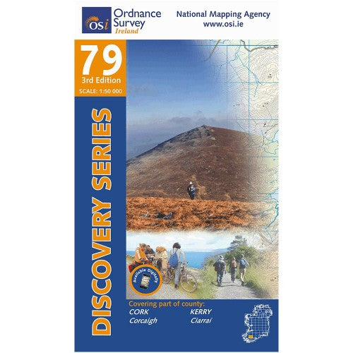
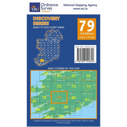
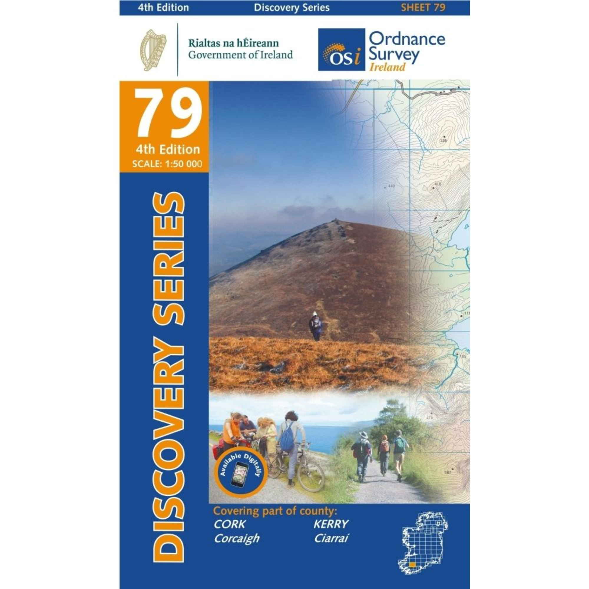
Ordnance Survey Map Sheet 79 | Part of Cork and Kerry
Map includes:
- Musheramore | Muisire Mór
- The Paps of Anú | Dá Chích Anann
- Lough Guitane
- Stoompa
Discovery maps are produced at a scale of 1:50,000 (or 2cm on paper equals 1 kilometre on the ground). Each Discovery Sheet covers an area of 40km x 30km surface area (with the exception of several portrait-format sheets, which are 42km x 32km). There are 93 sheets in the series; 75 are produced by Ordnance Survey Ireland, and 18 by Ordnance Survey Northern Ireland. The maps produced by Ordnance Survey Northern Ireland are called the Discoverer Series.
This is a comprehensive series of feature-rich maps which show detailed landscape information, like rivers, lakes, contours and many townland names. The Discovery Series is designed primarily for tourist and leisure activities; these maps are the preferred choice for hill walkers and those in pursuit of the great outdoors. It is also an ideal reference for location-focused business use, in pocket-friendly folded form or as a wall-mounted reference.
OSI Discovery Map 79 Part of Cork & Kerry 1:50,000 OSI79
Choose options