






ORDNANCE SURVEY IRL
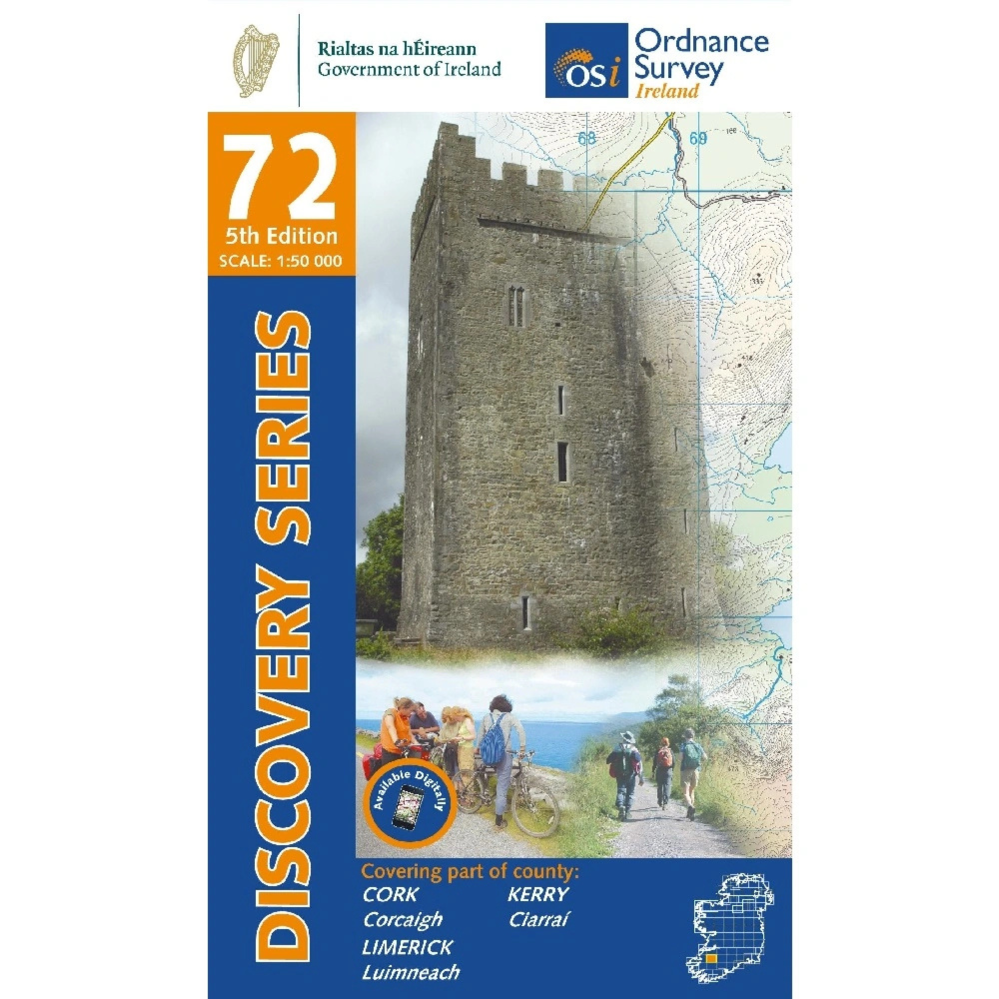
OSI Discovery Map 72 (Part of Cork, Kerry & Limerick)(1:50,000)
OSI Discovery Map 72 (Part of Cork, Kerry & Limerick)(1:50,000)
Landers Tralee
Landers Outdoor World
Mile Height
Tralee
Kerry
V92 PP9C
Ireland
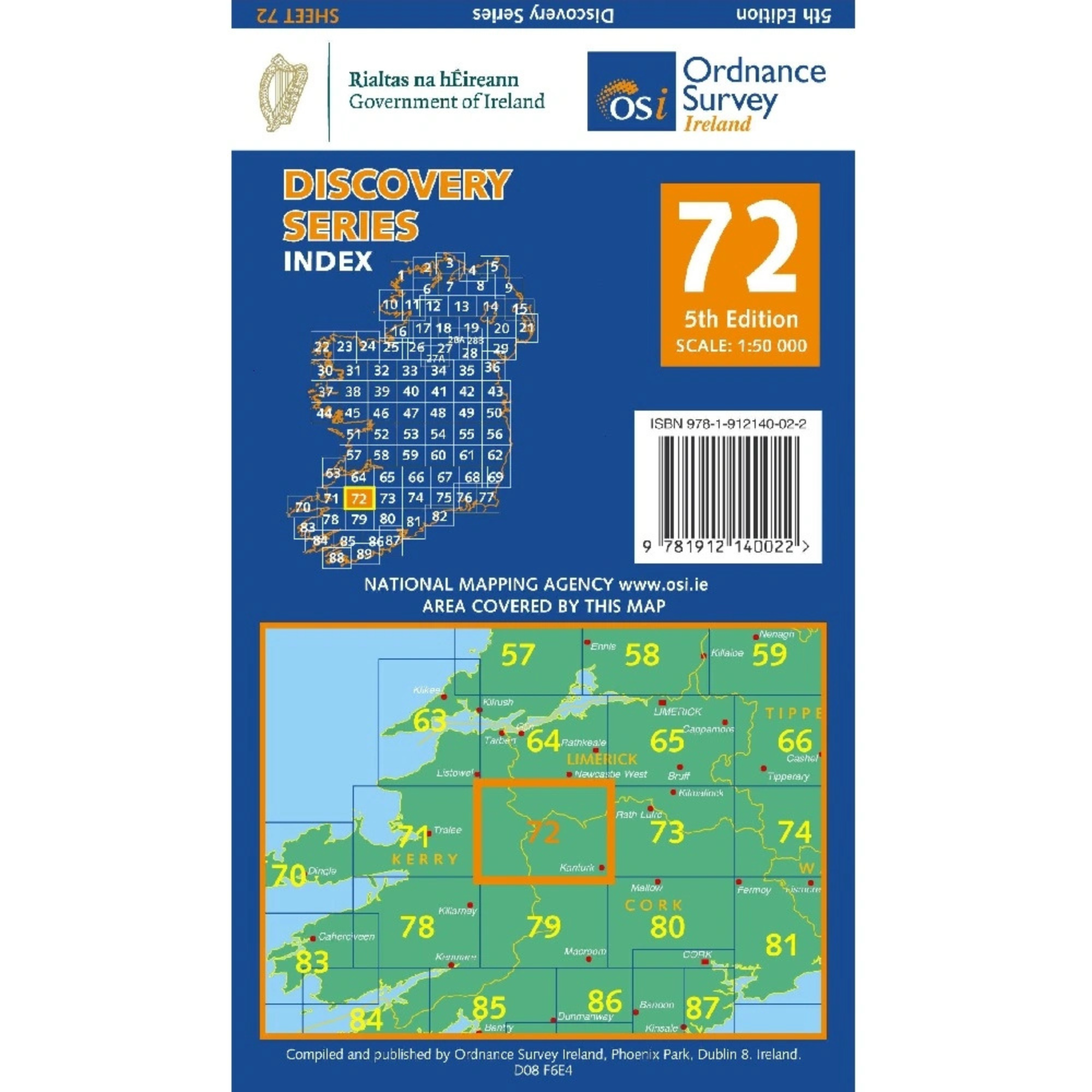
Ordnance Survey Map Sheet 72 | Part of Cork, Kerry and Limerick
Map includes:
- Abbeyfeale
- Banane Loop Walk
- Brosneen Loop Walk
- Castleisland (part of)
- Doctor's Hill Loop Walk
- Dromcolliher
- Glanaruddery Mountains | Sléibhte Ghleann an Ridire
- Kanturk
- Newmarket
- Reanahown Loop Walk
- Rowls-Langford Loop Walk
- Great Southern Trail Greenway: Abbeyfeale to Ballymurragh East
- Mullaghareirk Mountains | Mullach an Radhairc
- Source of Blackwater Loop Walk
Discovery maps are produced at a scale of 1:50,000 (or 2cm on paper equals 1 kilometre on the ground). Each Discovery Sheet covers an area of 40km x 30km surface area (with the exception of several portrait-format sheets, which are 42km x 32km). There are 93 sheets in the series; 75 are produced by Ordnance Survey Ireland, and 18 by Ordnance Survey Northern Ireland. The maps produced by Ordnance Survey Northern Ireland are called the Discoverer Series.
This is a comprehensive series of feature-rich maps which show detailed landscape information, like rivers, lakes, contours and many townland names. The Discovery Series is designed primarily for tourist and leisure activities; these maps are the preferred choice for hill walkers and those in pursuit of the great outdoors. It is also an ideal reference for location-focused business use, in pocket-friendly folded form or as a wall-mounted reference.
OSI Discovery Map 72 Part of Cork, Kerry & Limerick 1:50,000 OSI72
General Care instructions:
For proper care and maintenance, always refer to the manufacturer’s instructions included with your product. If you cannot locate these instructions, please consult the manufacturer's website or contact them directly before cleaning or use.


Choose options