


ORDNANCE SURVEY IRL
OSI Discovery Map 56 (Part of Dublin, Kildare & Wicklow)(1:50,000)

OSI Discovery Map 56 (Part of Dublin, Kildare & Wicklow)(1:50,000)
Landers Tralee
Landers Outdoor World
Mile Height
Tralee
Kerry
V92 PP9C
Ireland
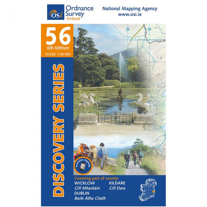
Ordnance Survey Map Sheet 56 | Part of Dublin, Kildare and Wicklow
Map includes:
- Ballinastoe Mountain Bike Park
- Clara Vale
- Crone Woods
- Deerpark Trail
- Devil's Glen
- Glencree
- Glendalough
- Glendalough Miner's Trail
- Glenmacnass
- Glenmalure
- Lugnaquillia Mountain | Log na Coille
- Maulin Trail
- Mullaghcleevaun | Mullach Cliabháin
- Oak Glen Loop Trail
- Seamus Heaney Walk
- Tonelagee | Tóin le Gaoith
- St Kevin's Way (Hollywood to Glendalough)
- Vartry Reservoir Trail
- Wicklow Mountains National Park
- Wicklow Way | Slí Chill Mhantáin (Glencullen Mountain to Glenmalure)
Discovery maps are produced at a scale of 1:50,000 (or 2cm on paper equals 1 kilometre on the ground). Each Discovery Sheet covers an area of 40km x 30km surface area (with the exception of several portrait-format sheets, which are 42km x 32km). There are 93 sheets in the series; 75 are produced by Ordnance Survey Ireland, and 18 by Ordnance Survey Northern Ireland. The maps produced by Ordnance Survey Northern Ireland are called the Discoverer Series.
This is a comprehensive series of feature-rich maps which show detailed landscape information, like rivers, lakes, contours and many townland names. The Discovery Series is designed primarily for tourist and leisure activities; these maps are the preferred choice for hill walkers and those in pursuit of the great outdoors. It is also an ideal reference for location-focused business use, in pocket-friendly folded form or as a wall-mounted reference.
OSI Discovery Map 56 Part of Dublin, Kildare & Wicklow 1:50,000 OSI56
Choose options