


EASTWEST MAPPING
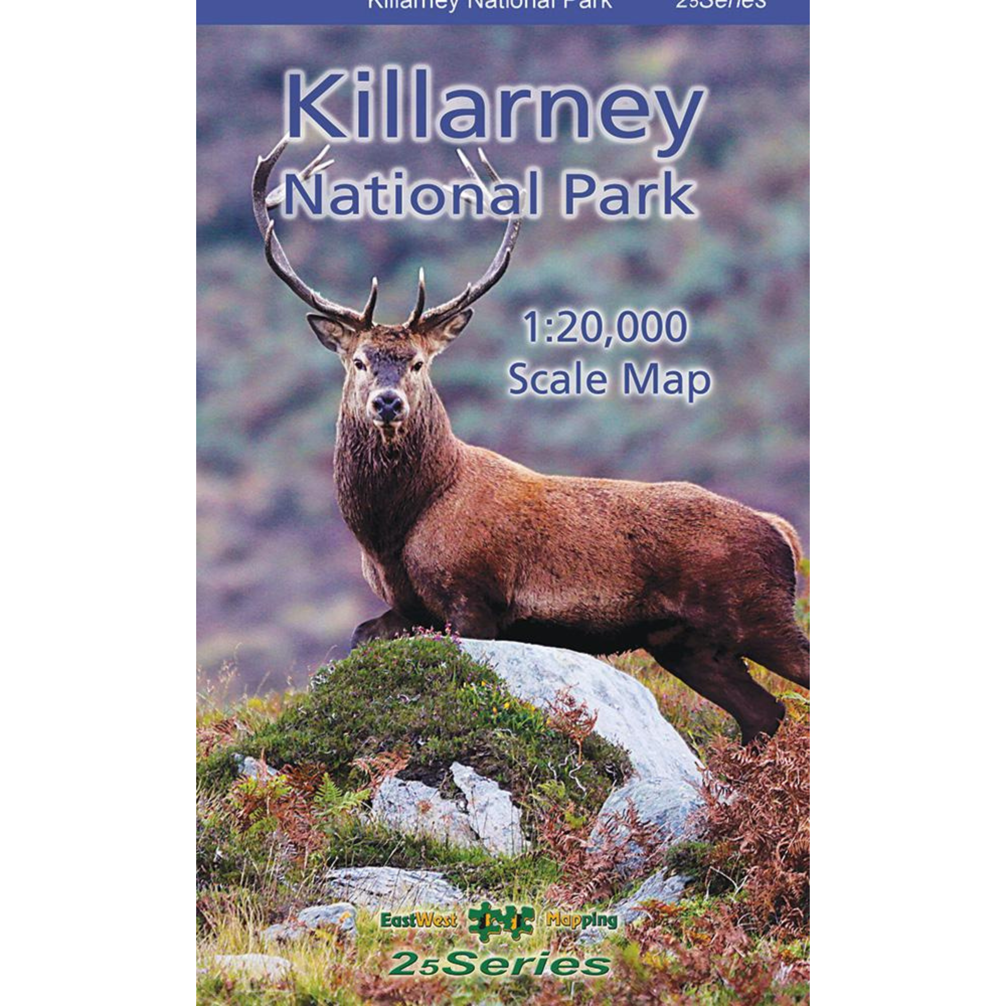
EastWest Mapping Killarney National Park Laminated Waterproof Map (1:20,000)
EastWest Mapping Killarney National Park Laminated Waterproof Map (1:20,000)
Landers Tralee
Landers Outdoor World
Mile Height
Tralee
Kerry
V92 PP9C
Ireland
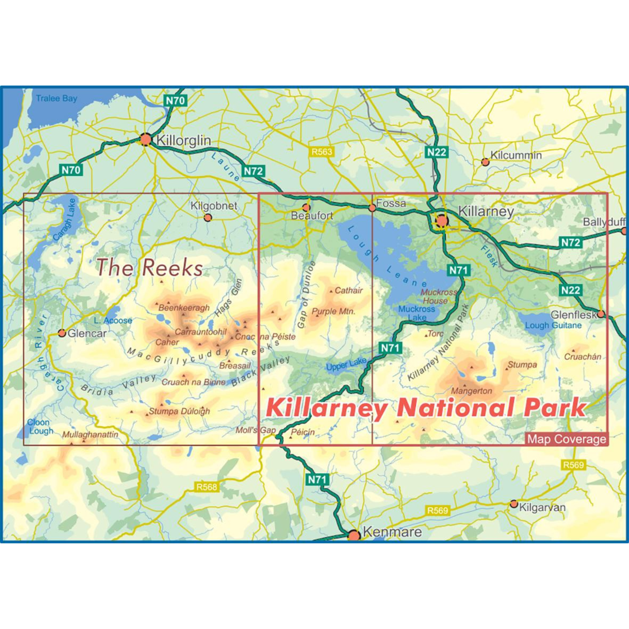
Definitive detailed map at 1:20,000 scale covering Killarney National Park and Mangerton Mountain. The map extends from the Gap of Dunloe to Glenflesk. Includes Killarney town, National Park, Purple & Mangerton Mountains.
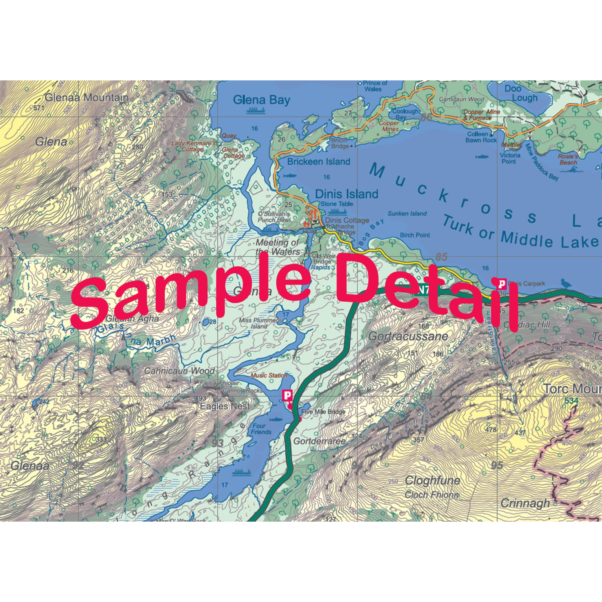
Produced to EastWest Mapping's 25Series standard, this general topographic map has a 5 metre contour interval for fine navigation.
Signposted walking trails are depicted. Detailed topographic map with many place names and heritage sites.
Printed on good quality Progeo 90gsm map paper. The map sheet measures 1125mm x 820mm, covering 350 sq kilometres and is folded down to 125mm x 205mm.
Details:
- Laminated for durability and weatherproofing
- Weight: 150g
- Dimensions: 20 x 12.5 x 1cm
- Published 2022
Killarney National Park Laminated Waterproof 1:20,000 Scale Map EWKNP-WP
Choose options