


HARVEY
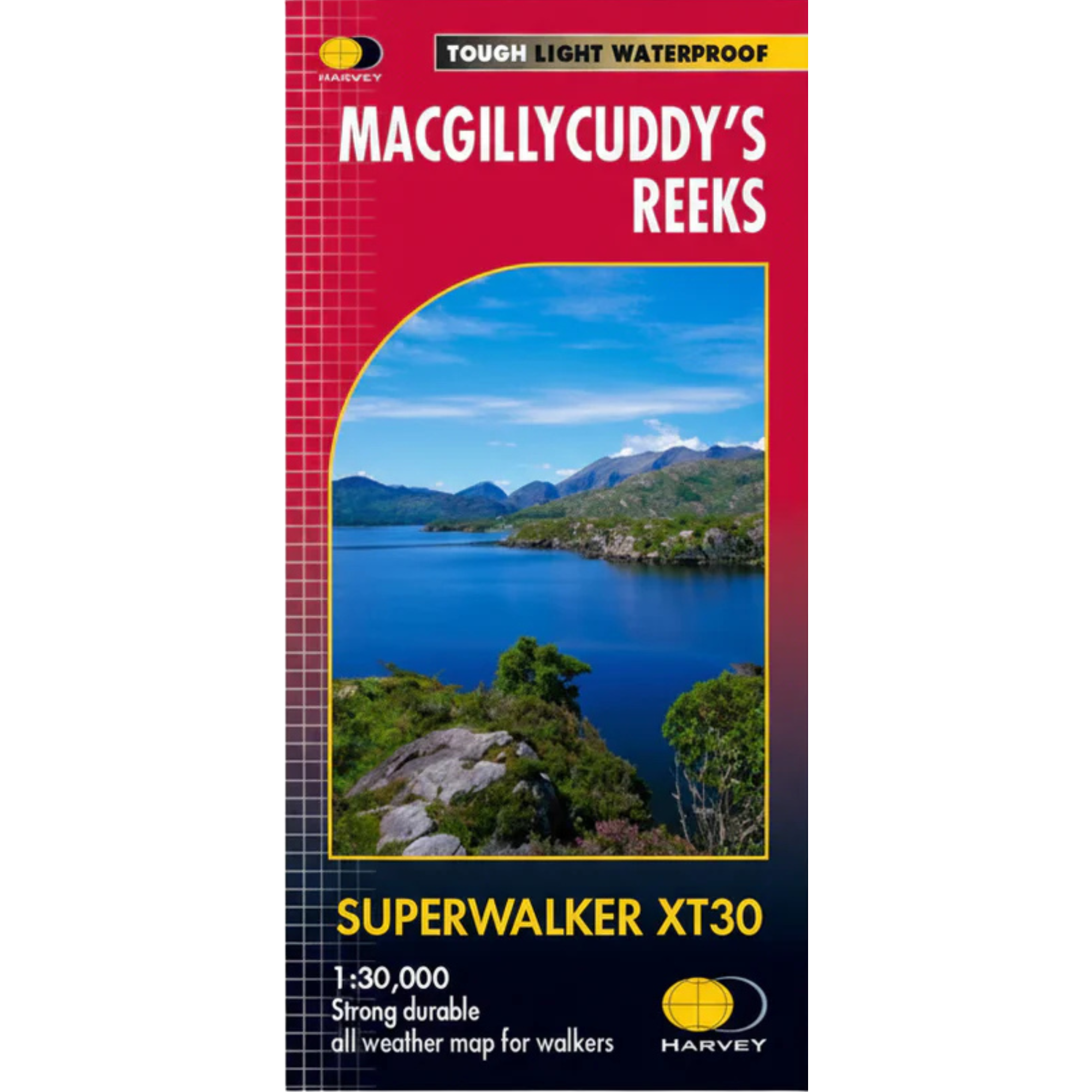
Harvey MacGillycuddy's Reeks Superwalker XT30 Waterproof Map (1:30,000)
Harvey MacGillycuddy's Reeks Superwalker XT30 Waterproof Map (1:30,000)
Landers Tralee
Landers Outdoor World
Mile Height
Tralee
Kerry
V92 PP9C
Ireland
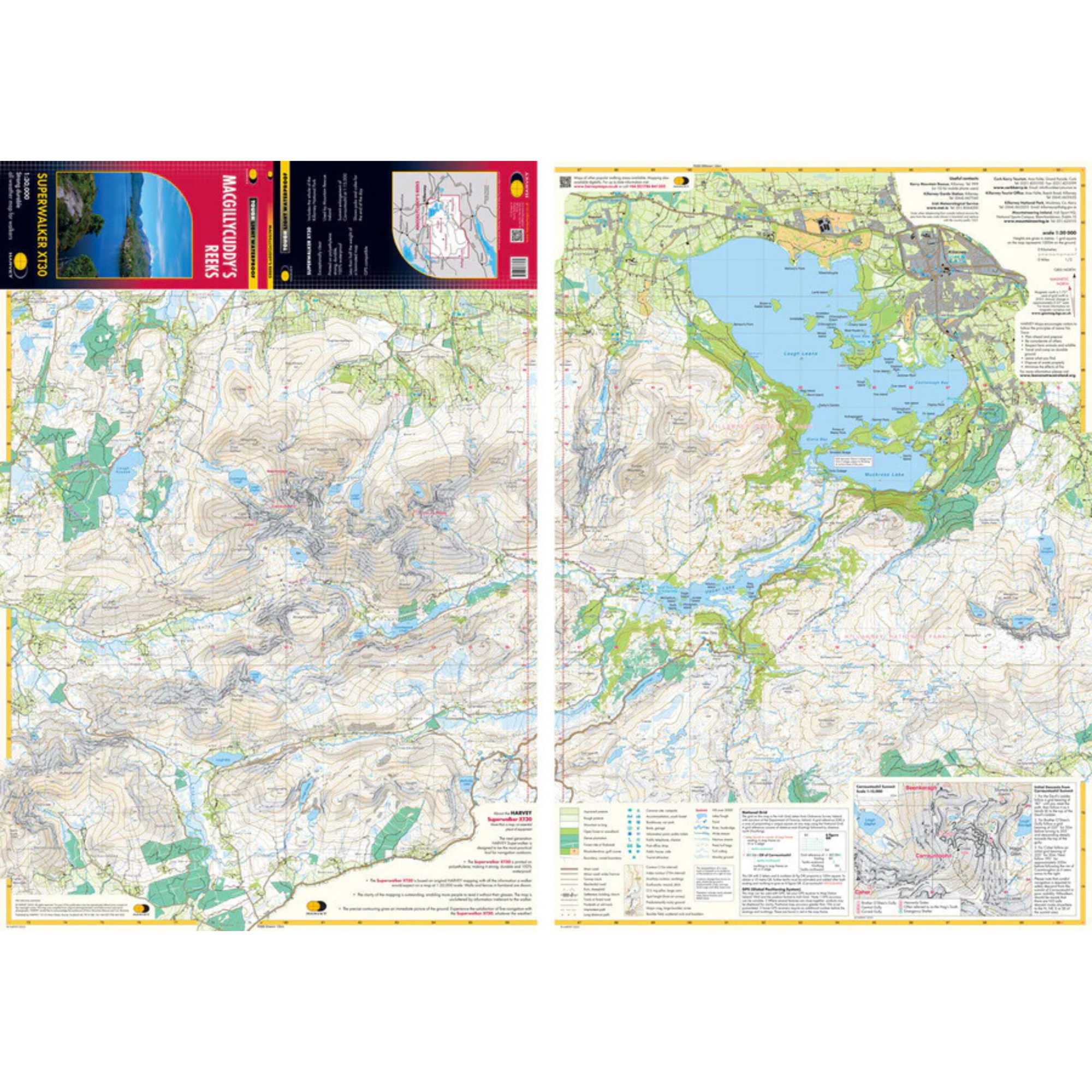
The Harvey MacGillycuddy's Reeks Superwalker XT30 Map is printed on polythene, which is strong, durable and 100% waterproof. The map is less than half the weight of a laminated map and is GPS compatible. It is GPS compatible and shows nearby pubs and cafes for the end of the day. It is the same map as used by Mountain Rescue Ireland.
Map Includes
- Carrauntoohil: Ireland's highest mountain (1:15,000 scale for summit)
- Killarney National Park
- Kerry Way: Killarney to Glencar
- Mangerton
Details:
- Scale: 1:30,000
- Ratio: 3.33cm = 1km
- Flat size: 486 x 696mm
- Folded size: 116 x 243mm
- Weight: 32gms
- Area of mapping: 457sqkm
- Double sided
Harvey MacGillycuddy's Reeks Superwalker XT30 Map 1:30,000 HMCGRM
General Care instructions:
For proper care and maintenance, always refer to the manufacturer’s instructions included with your product. If you cannot locate these instructions, please consult the manufacturer's website or contact them directly before cleaning or use.


Choose options