


HARVEY
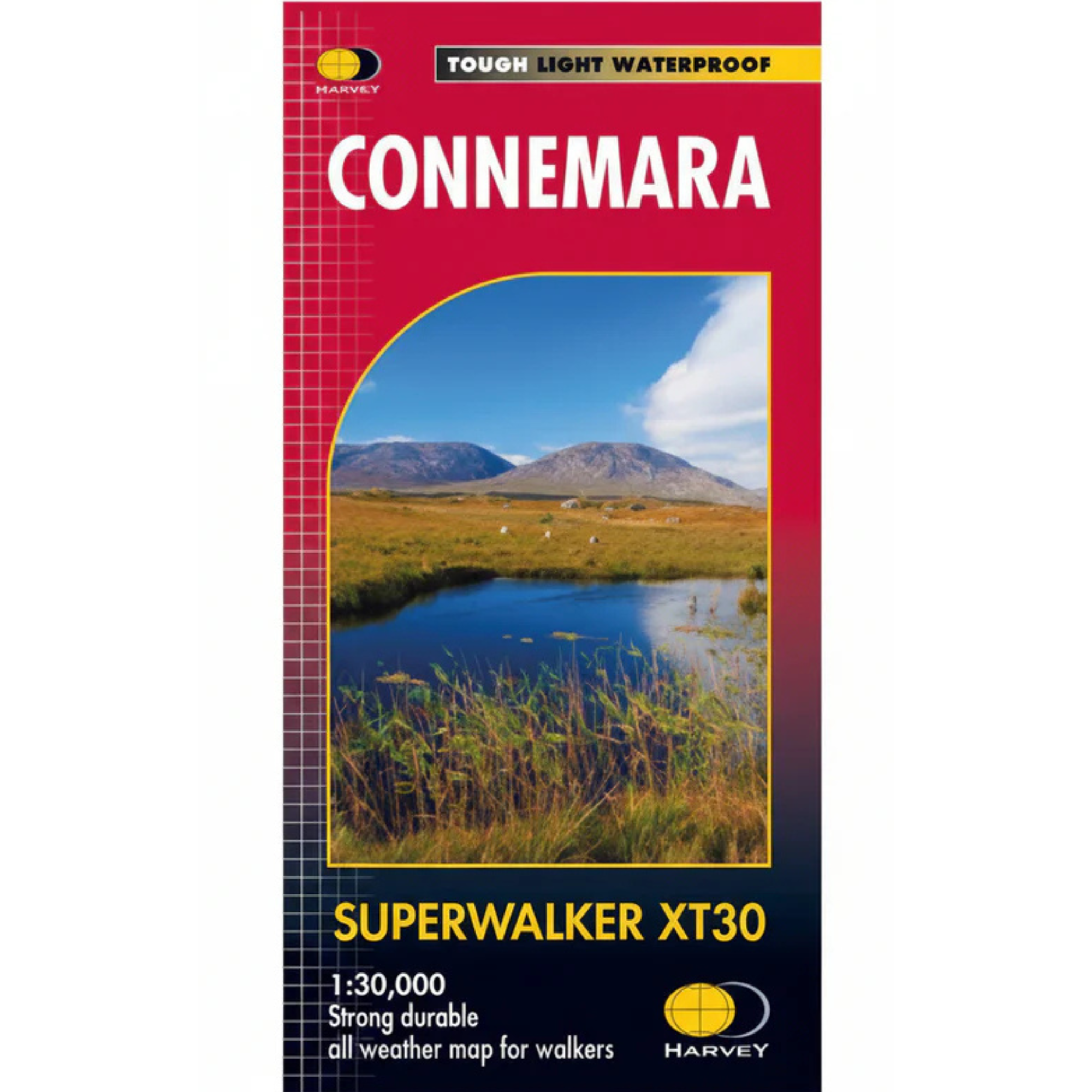
Harvey Connemara Superwalker XT30 Waterproof Map (1:30,000)
Waterproof
Trail
Hiking
Quantity:
Pickup available at Landers Tralee
Usually ready in 1 hour
Harvey Connemara Superwalker XT30 Waterproof Map (1:30,000)
Landers Tralee
Pickup available, usually ready in 1 hour
Landers Outdoor World
Mile Height
Tralee
Kerry
V92 PP9C
Ireland
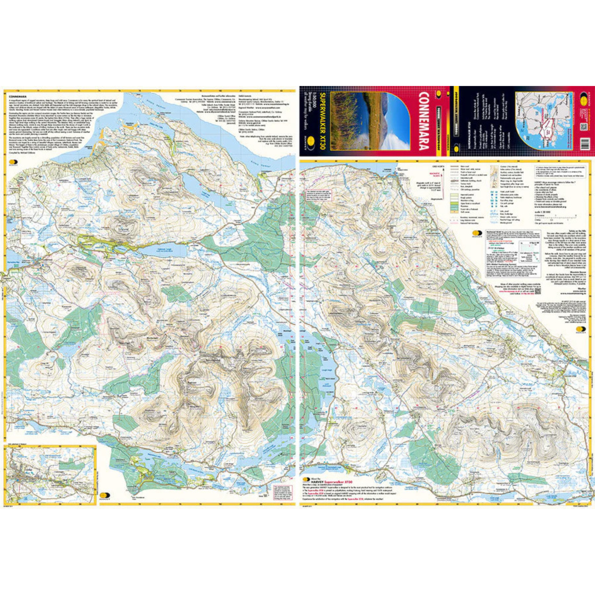
Harvey Connemara Superwalker XT30 Map, as used by Mountain Rescue Ireland, is printed on strong, durable 100% waterproof polyethylene, is less than half the weight of a laminated map and is GPS compatible.
Includes:
- The Twelve Bens
- The Maumturks
- The whole of Connemara National Park
- Pubs and cafes for the end of the day
- Irish and English names
- Major access routes
Details:
- At 1:30,000 scale
- Ratio: 3.33cm = 1km
- Flat size: 696 x 486mm
- Folded size: 116 x 243mm
- Weight: 60gms
- Area of mapping: 435sqkm
- Double sided
Harvey Connemara Superwalker XT30 Waterproof Map 1:30,000 HCONNEMARA
Choose options
Quantity:
Quantity: