






EASTWEST MAPPING
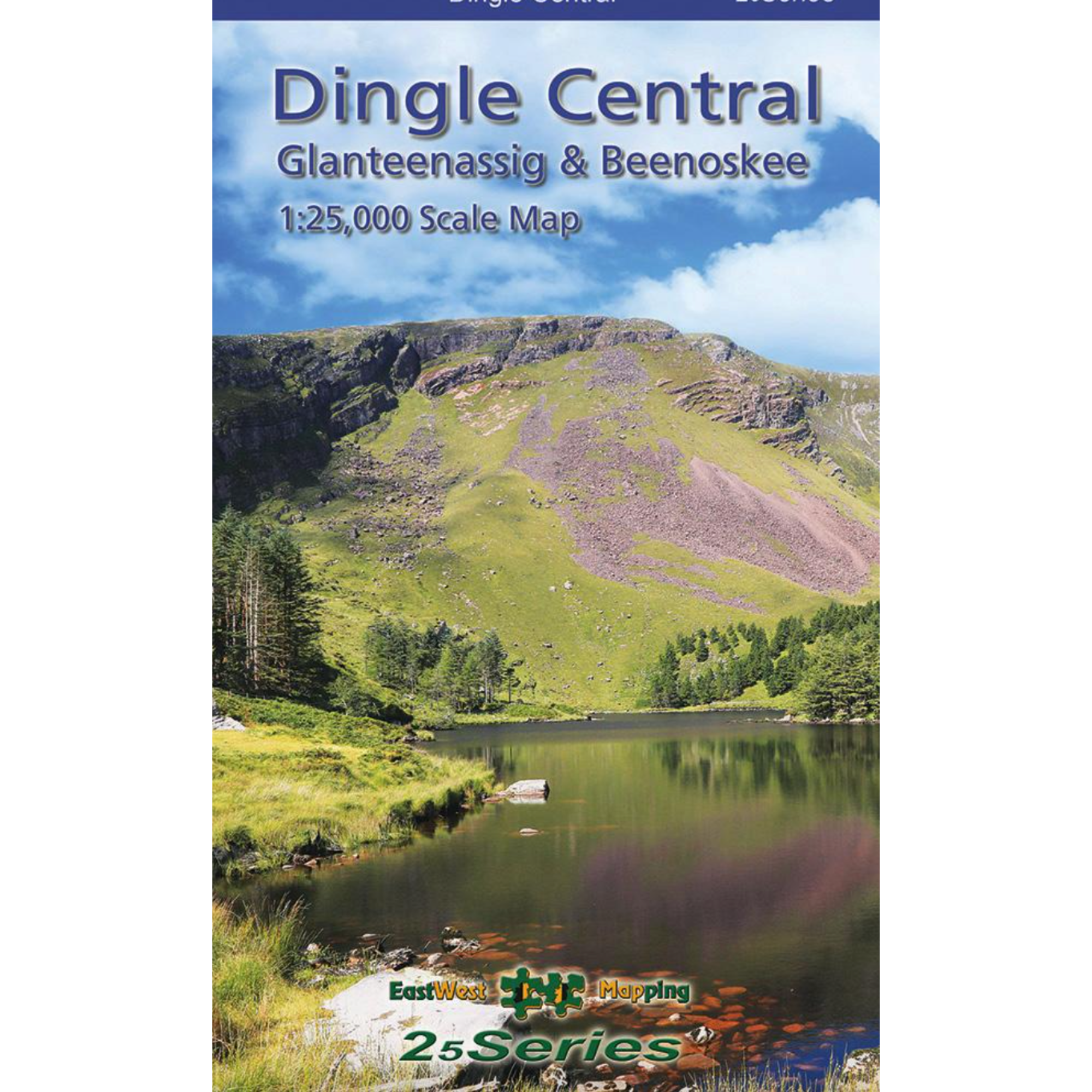
EastWest Mapping Dingle Central ~ Beenoskee Laminated Waterproof Map (1:25,000)
EastWest Mapping Dingle Central ~ Beenoskee Laminated Waterproof Map (1:25,000)
Landers Tralee
Landers Outdoor World
Mile Height
Tralee
Kerry
V92 PP9C
Ireland
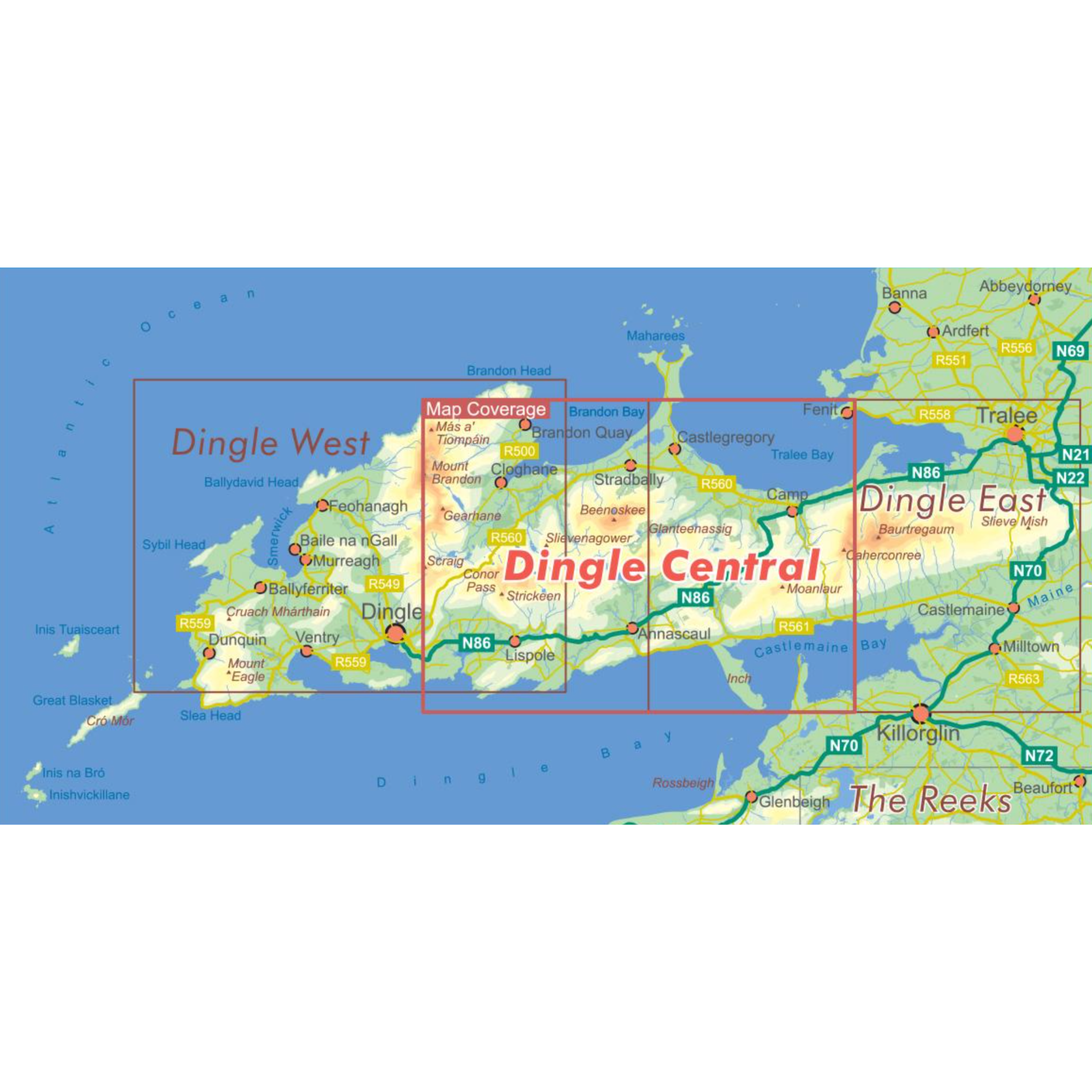
Definitive detailed map at 1:25,000 scale covering the central part of the Dingle peninsula – from the Conor Pass to Caherconree & Inch.
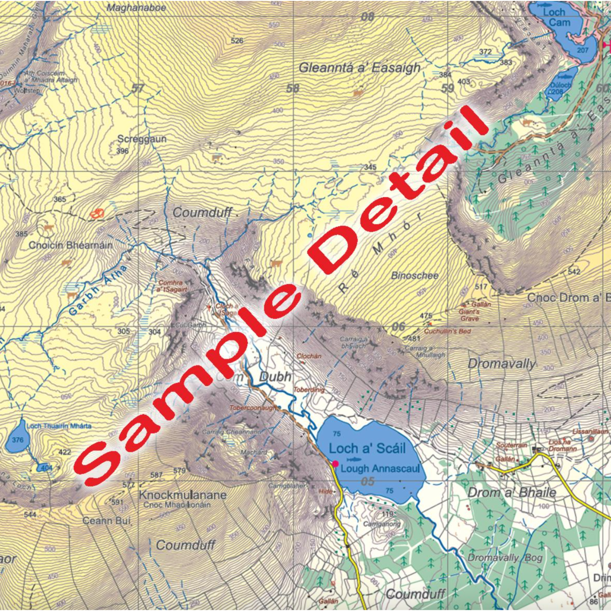
Produced to EastWest Mapping's 25Series standard, this general topographic map has a 5 metre contour interval for fine navigation. Signposted walking trails are depicted. Detailed topographic map with many place names and heritage sites.
Printed on good quality Progeo 90gsm map paper. The map sheet measures 1125mm x 820mm, covering 550 sq kilometres and is folded down to 125mm x 205mm. Note that part of the Maharees is not shown.
- Paper quality: Progeo 90gsm map paper
- Open dimensions: 112.5cm x 82cm
- Folded dimensions: 12.cm x 20.5cm
- Published: 2023
- Fully encapsulated/laminated for durability and weatherproofing.
- Scale: 1:25,000
- Contour Interval: 5 metres
1:25,000 Scale : 1 centimetre on the map = 250 metres on the ground.
Check out EastWest Mapping's FAQ section for Care Instructions and Key to Symbols
EastWest Mapping Dingle Central ~ Beenoskee Waterproof 1:25,000 Scale Map EWDCB-WP


Choose options