


EASTWEST MAPPING
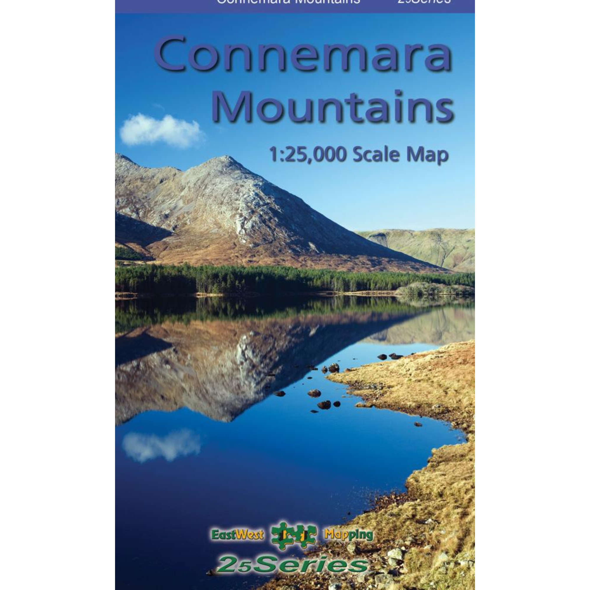
EastWest Mapping Connemara Mountains Map (1:25,000)
EastWest Mapping Connemara Mountains Map (1:25,000)
Landers Tralee
Landers Outdoor World
Mile Height
Tralee
Kerry
V92 PP9C
Ireland
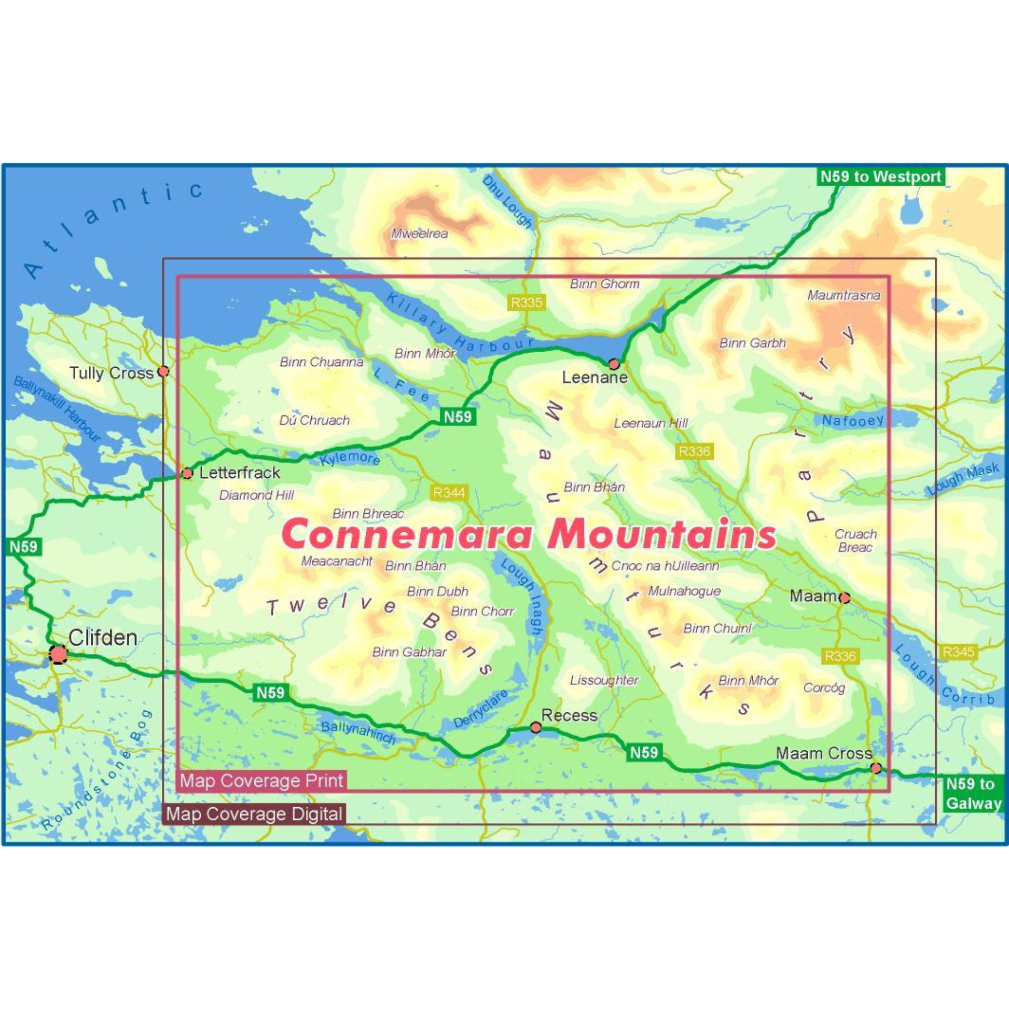
Definitive detailed map at 1:25,000 scale covering the Twelve Bens, Maumturk Mountains, Killary Harbour and region.
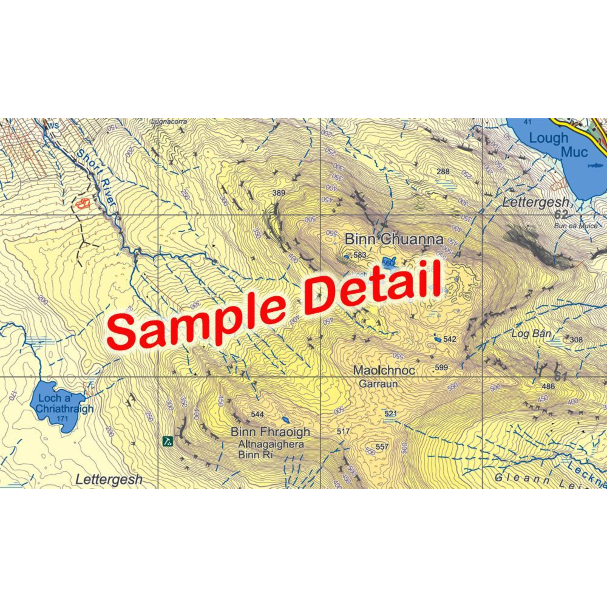
Produced to EastWest Mapping's 25Series standard, this general topographic map has a 5 metre contour interval for fine navigation. Signposted walking trails are depicted. The finest and most detailed of several maps published of this popular region.
Printed on good quality Progeo 90gsm map paper. The map sheet measures 1125mm x 820mm, covering 550 sq kilometres and is folded down to 125mm x 205mm.
- Paper quality: Progeo 90gsm map paper
- Open dimensions: 112.5cm x 82cm
- Folded dimensions: 12.cm x 20.5cm
- Surveyed & published: 2024
- Paper map - not waterproof
- Scale: 1:25,000
- Contour Interval: 5 metres
1:25,000 Scale : 1 centimetre on the map = 250 metres on the ground.
Check out EastWest Mapping's FAQ section for Care Instructions and Key to Symbols
EastWest Mapping Connemara Mountains Paper Map EWCONEM
Choose options